Shapefile
Advertisement
DNRGarmin v.5. 4. 2001
DNRGarmin is a smart tool used to directly transfer data between Garmin GPS handheld receivers and various GIS software packages.
Advertisement
GPS Pathfinder Office v.5 20
Powerful and easy to use GPS data processing software The GPS Pathfinder Office software is a powerful and easy-to-use software package of powerful GNSS postprocessing tools, incorporating the new Trimble DeltaPhase differential correction techno
GSpatial Toolbar v.2. 2. 2004
ESRI shapefiles are a very common mapping or GIS dat exchange format. Google Earth uses an exchange format called KML, which is a variant of XML.
TatukGIS Viewer v.2.9.0.5307
TatukGIS Viewer opens most GIS/CAD vector, raster image, and grid file types, including the aerial imagery and vector street map data provided by the leading vendors, most ArcView, ArcExplorer, and MapInfo projects,
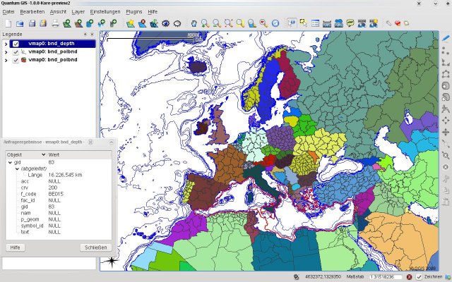
Quantum GIS v.1.8.0
Cross-platform and user friendly Open Source Geographic Information System (GIS). Quantum GIS (QGIS) is a user friendly Open Source Geographic Information System (GIS) that runs on Linux, Unix, Mac OSX, and Windows. QGIS supports vector, raster,
Fugawi Global Navigator v.4.5.50.5002
Fugawi is a strong bitmap-to-use maps in combination with a GPS receiver. Fugawi offers the capability to calibrate with precision digital maps or scan paper maps. You can also import a large number of official or commercial mapping products.
Mapwel Build-11.0-2013 v.2013
All-in-one software for creation of custom GPS maps compatible with Garmin GPS units.
Quantum GIS form Mac v.1.8.0
QGIS supports vector, raster, and database formats and lets you browse and create map data on your computer.

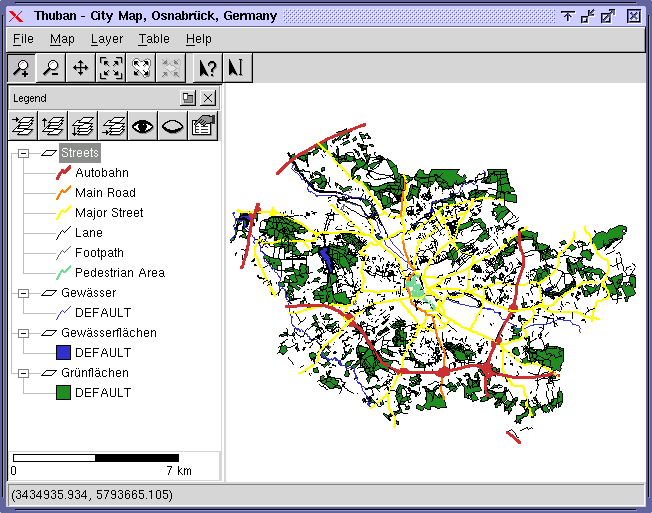
Thuban for Linux v.1.2.2
Thuban is an interactive geographic data viewer (GIS viewer) which features methods to visualize, explore, and analyze geographic information.
Thuban for Mac OS X 1.0.1-3 v.3
Thuban is an interactive geographic data viewer (GIS viewer) which features methods to visualize, explore, and analyze geographic information.
Thuban for Windows v.1.2.2
Thuban is an interactive geographic data viewer (GIS viewer) which features methods to visualize, explore, and analyze geographic information.