Shapefile
Advertisement
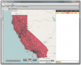
Free Shapefile Viewer v.5.3.1
The free AvisMap Viewer opens most GIS/CAD and raster image file types and most ArcView, ArcExplorer, and MapInfo projects.
Advertisement
CAD2Shape v.6.0
CAD2Shape converts AutoCAD DXF/DWG drawing files to ESRI shapefile format. It can translate holes / islands /donuts from originating CAD drawing to Polygon shapefile. It can translate 3D surfaces to MultiPatch shapefile types.
JD Rx Converter v.1.0.0.4
JD Rx Converter allows users to easily convert shapefile prescriptions into a format that is readable by the GreenStar 2 display.
Geocando v.1 1
Geocando is a 3d Viewer for visualisation and querying of geodata and geomodels. It is especially developed for Paradigm's GOCAD® objects. Another supported format is the typical GIS exchange format ESRI Shapefile.
Graphviz 1.13 (v16) v.1.75
About GraphvizThe Macintosh port of the "open-source" automated graph layout software, featuring a new document-based GUI, export to PDF and many more bitmap formats, full alpha transparency, native font and shapefile support and anti-alias
BytesFall ShapeFiles v.0.0.2
BytesFall ShapeFiles is a PHP library that allows reading and editing of an ESRI ShapeFile and all the associated information.
GisDual-edit v.1.0
Gis editor, for two persons edit the same shapefile at the same time.
Ruby
Ruby - This program will scan the users CDRs and then catalog and save the file properties (name, directory, attributes, size, date) and the disc properties (serial#, file system, volume label, # of files, user chosen description) onto a database. The
ET GeoTools for ArcGIS v.10.0
ET GeoTools is a set of tools for ArcGIS which purpose is to increase the editing productivity in ArcMap, give enhanced editing functionality to the ArcView users and enable them to create and maintain topologically correct datasets.
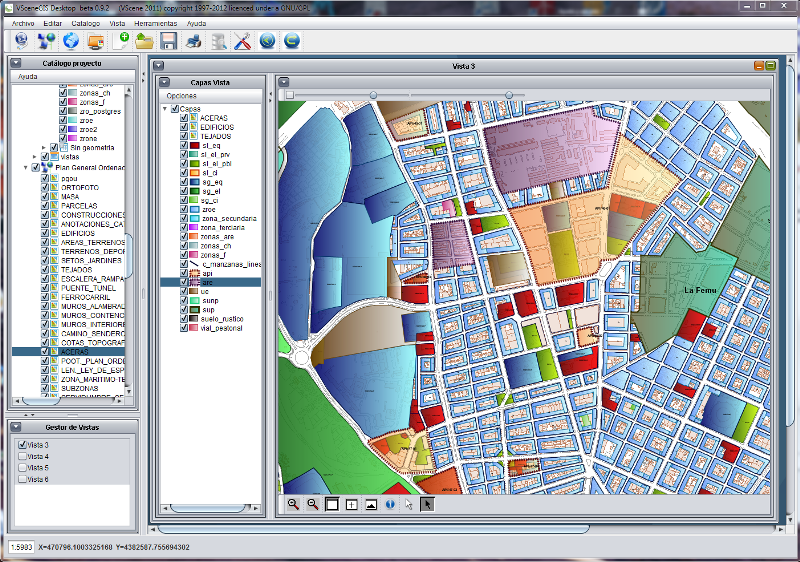
ShapeViewer v.1 2
Shape Viewer is a free tool, which you can use to view ESRI Shape files. Shape Viewer can open (.shp) files that contain the geometry information of the shape file.With Shape Viewer you can also create new (.shx) file, and new empty (.