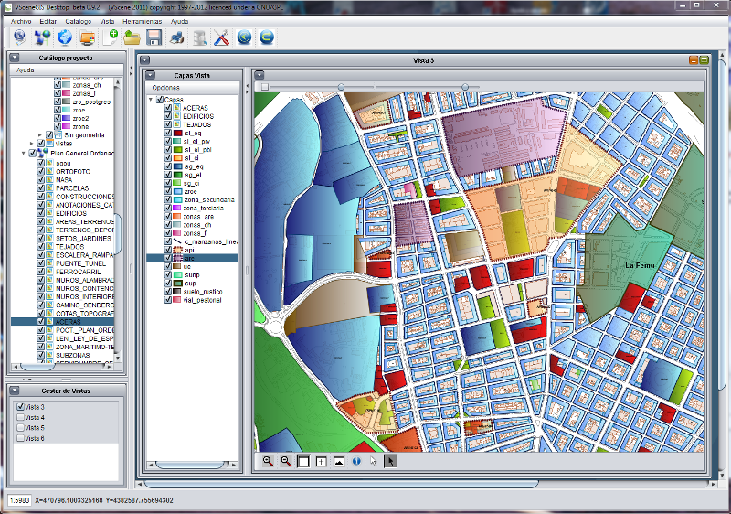
Shapefile
Advertisement
JD Rx Converter v.1.0.0.4
JD Rx Converter allows users to easily convert shapefile prescriptions into a format that is readable by the GreenStar 2 display.
Advertisement
Geocando v.1 1
Geocando is a 3d Viewer for visualisation and querying of geodata and geomodels. It is especially developed for Paradigm's GOCAD® objects. Another supported format is the typical GIS exchange format ESRI Shapefile.
Graphviz 1.13 (v16) v.1.75
About GraphvizThe Macintosh port of the "open-source" automated graph layout software, featuring a new document-based GUI, export to PDF and many more bitmap formats, full alpha transparency, native font and shapefile support and anti-alias
BytesFall ShapeFiles v.0.0.2
BytesFall ShapeFiles is a PHP library that allows reading and editing of an ESRI ShapeFile and all the associated information.
GisDual-edit v.1.0
Gis editor, for two persons edit the same shapefile at the same time.
ShapeViewer v.1 2
Shape Viewer is a free tool, which you can use to view ESRI Shape files. Shape Viewer can open (.shp) files that contain the geometry information of the shape file.With Shape Viewer you can also create new (.shx) file, and new empty (.
Speleoliti v.3.0
Speleoliti is a powerful and user-friendly software for spatial modelling. It is especially designed for speleological needs (cave mapping software), but also suitable for other kind of geo-works.
DNRGarmin v.5. 4. 2001
DNRGarmin is a smart tool used to directly transfer data between Garmin GPS handheld receivers and various GIS software packages.
GPS Pathfinder Office v.5 20
Powerful and easy to use GPS data processing software The GPS Pathfinder Office software is a powerful and easy-to-use software package of powerful GNSS postprocessing tools, incorporating the new Trimble DeltaPhase differential correction techno
GSpatial Toolbar v.2. 2. 2004
ESRI shapefiles are a very common mapping or GIS dat exchange format. Google Earth uses an exchange format called KML, which is a variant of XML.
